
Mapping Self in Society
Researcher, Writer, Instructor
Role
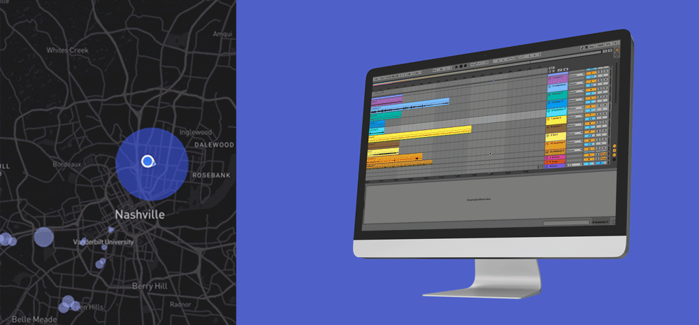
Processing, Premiere Pro, GPS Visualizer, Interaction Geography Slicer
Duration
Tools
16 weeks
MaSelfS is a collaboration between researchers and teachers at Georgia State University and Vanderbilt University and is generously supported by the Spencer Foundation and the National Science Foundation. We welcome other collaborators interested in expanding either this framework or other efforts to teach and conduct research related to personal geography and critical spatial inquiry.
Context
Problem
Mapping has become a regular part of our lives. We route ourselves to and from work with Google Maps, around traffic with Waze, and can even receive directions on our wrist thanks to the Apple Watch and Apple Maps pairing. With all of this distant data about our spatial surroundings, it is necessary to explore our mobility data for ourselves rather than leaving that wealth to the large companies that scrape and use such data, which happens at best with our explicit permission but at least often without our maintained awareness.
How might we design a tool that enables people to capture, view, and analyze their mobility data related to larger societal datasets?
How might we teach this data story approach to instructors and to students so that the barrier to entry with this technology is as low as possible?
Process
Product
Results